Our Fantastic Walk on the Fife Coast
By Monika Rusiewicz
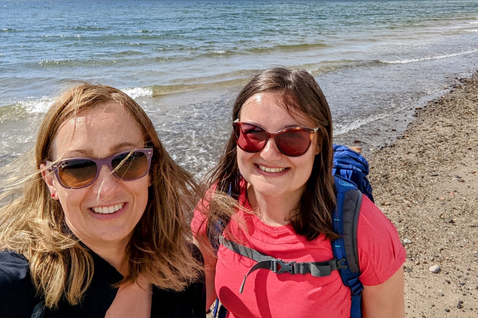
I recently spent six days walking the Fife Coastal Path along with my sister Aggie. The route stretches from the Forth Bridge to the Tay Bridge. Having previously done long-distance paths in England and Wales, we decided it was now time to walk one in Scotland. I didn’t really know what to expect from this route, but I must admit I was positively surprised with the scenery.
Day 1: North Queensferry to Burntisland
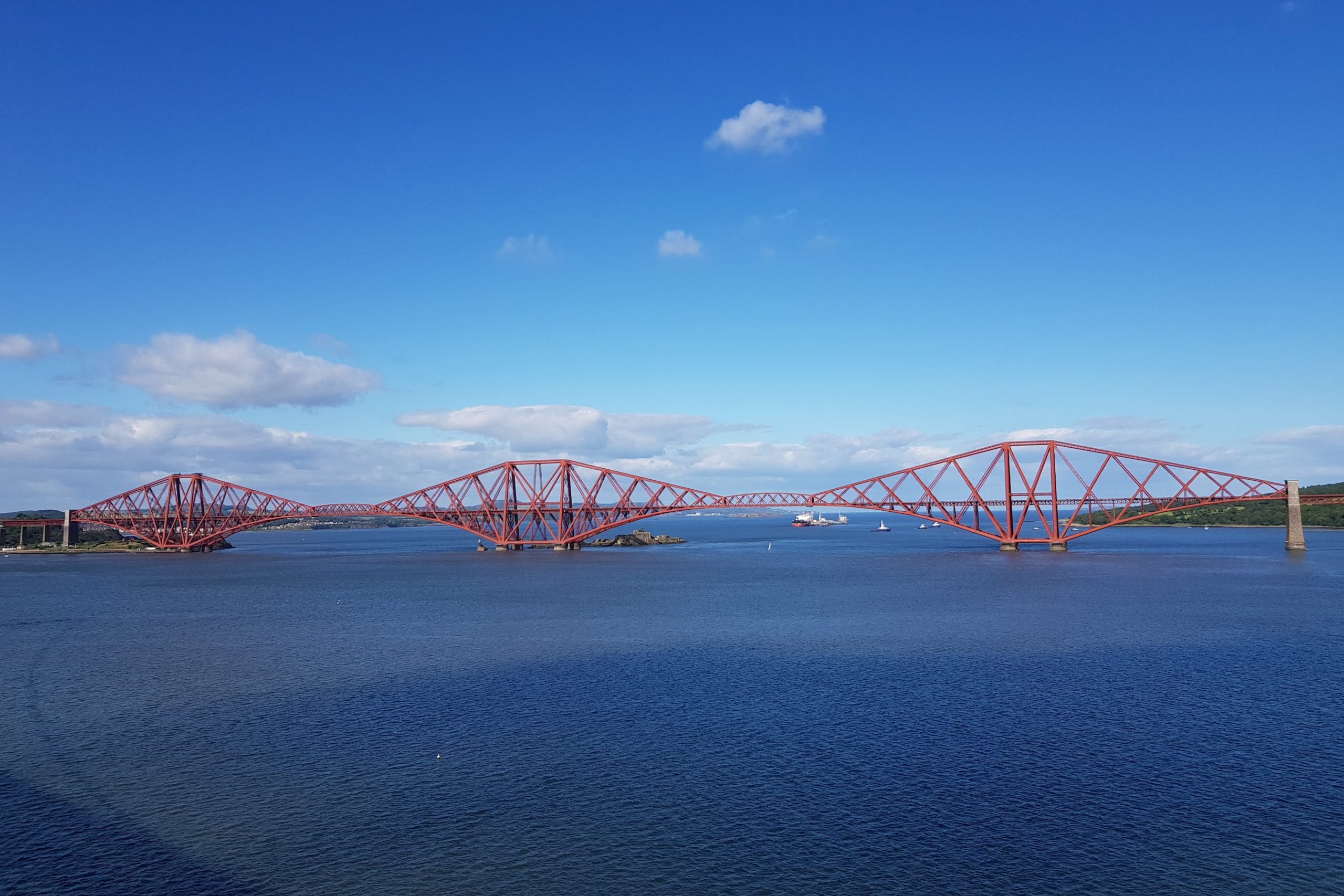
We started our Scottish adventure from the small village of North Queensferry. We left our accommodation in glorious sunshine and headed for the iconic Forth Rail Bridge. The path goes beneath the railway bridge and heads towards Inverkeithing. We then went through the town centre before getting back onto the coastal path at St David’s Harbour where you get panoramic views of the Firth of Forth towards Edinburgh in the distance.
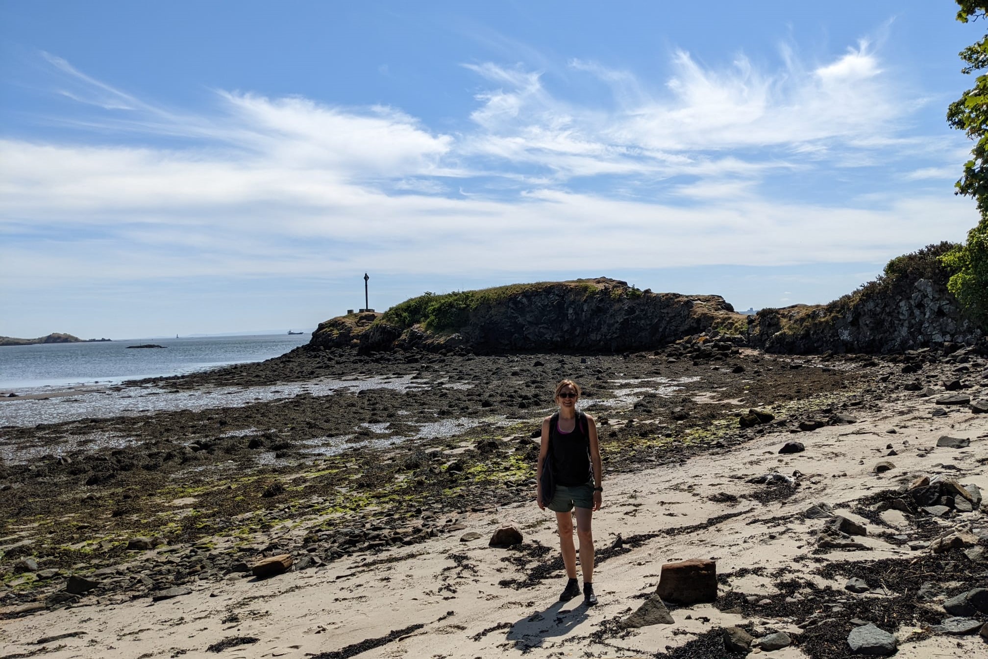
Just past Dalgety Bay, we passed the ruins of St Bridget’s Kirk, a medieval church, dating back to the 12th century. The route then heads inland all the way into Aberdour. Past Aberdour the path goes next to the train line and only moves away from the railway just before Burntisland. As our accommodation was on the outskirts of Burntisland, we followed the path down the sandy Burntisland beach.
Day 2: Burntisland to Leven
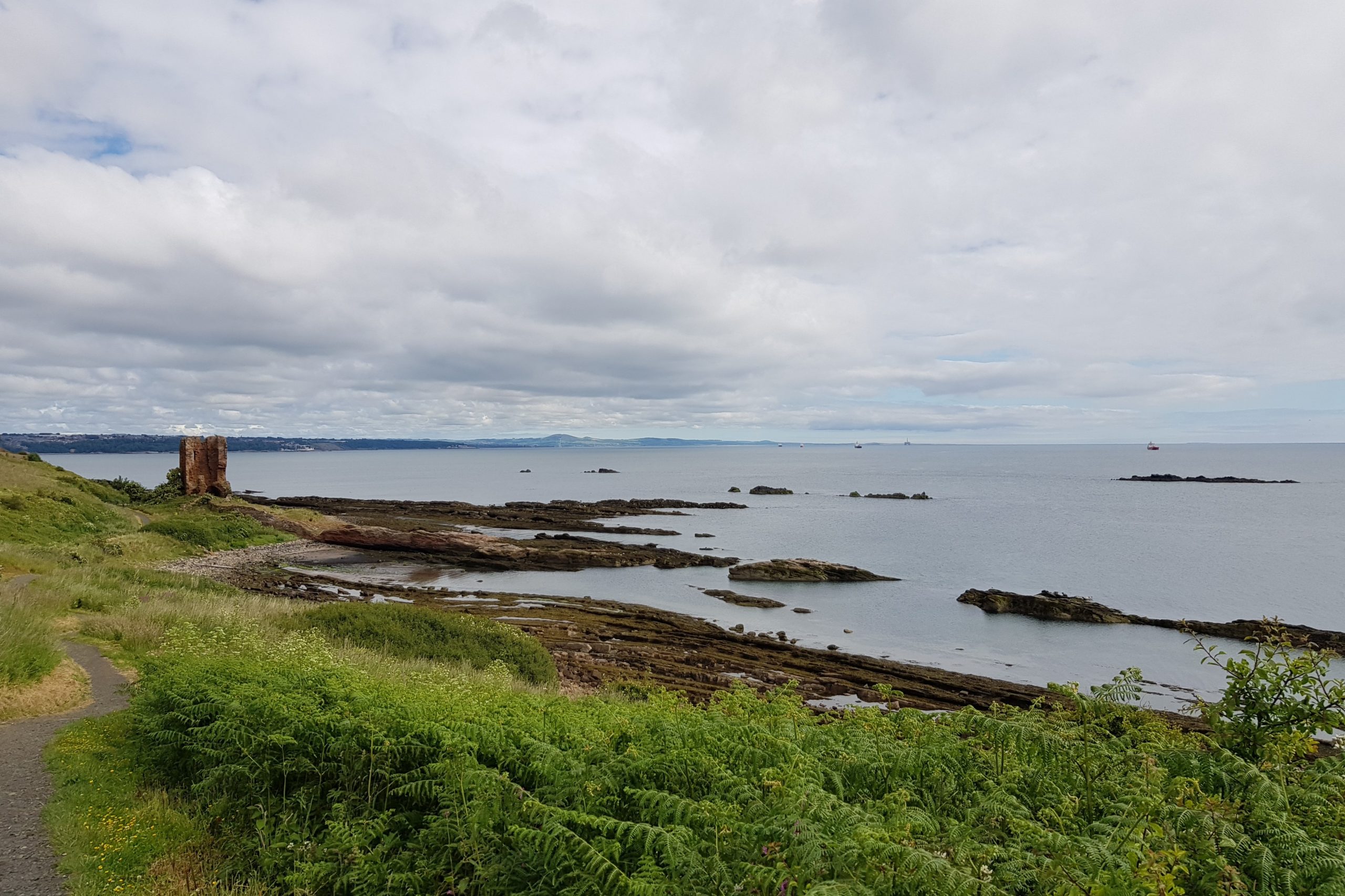
We left our accommodation this morning and proceeded towards Pettycur Bay and Kinghorn Harbour. From there the path passes the sandstone ruins of Seafield Tower before eventually joining the seafront promenade of Kirkcaldy.
You then head down onto the beach, which passes beneath Ravenscraig Castle, an impressive ruin which was built for King James II, and through the Ravenscraig Park. Eventually crags block the route ahead but the path continues through a tunnel in the rock. We emerged from the tunnel onto the cobblestones of the picturesque harbour at Dysart, where we decided to stop for lunch at the café at the Harbourmaster’s House.
After that we walked through the centre of Dysart before heading towards the winding gear of the Frances Colliery, which has been left as a memorial of the coal mining past of the area.
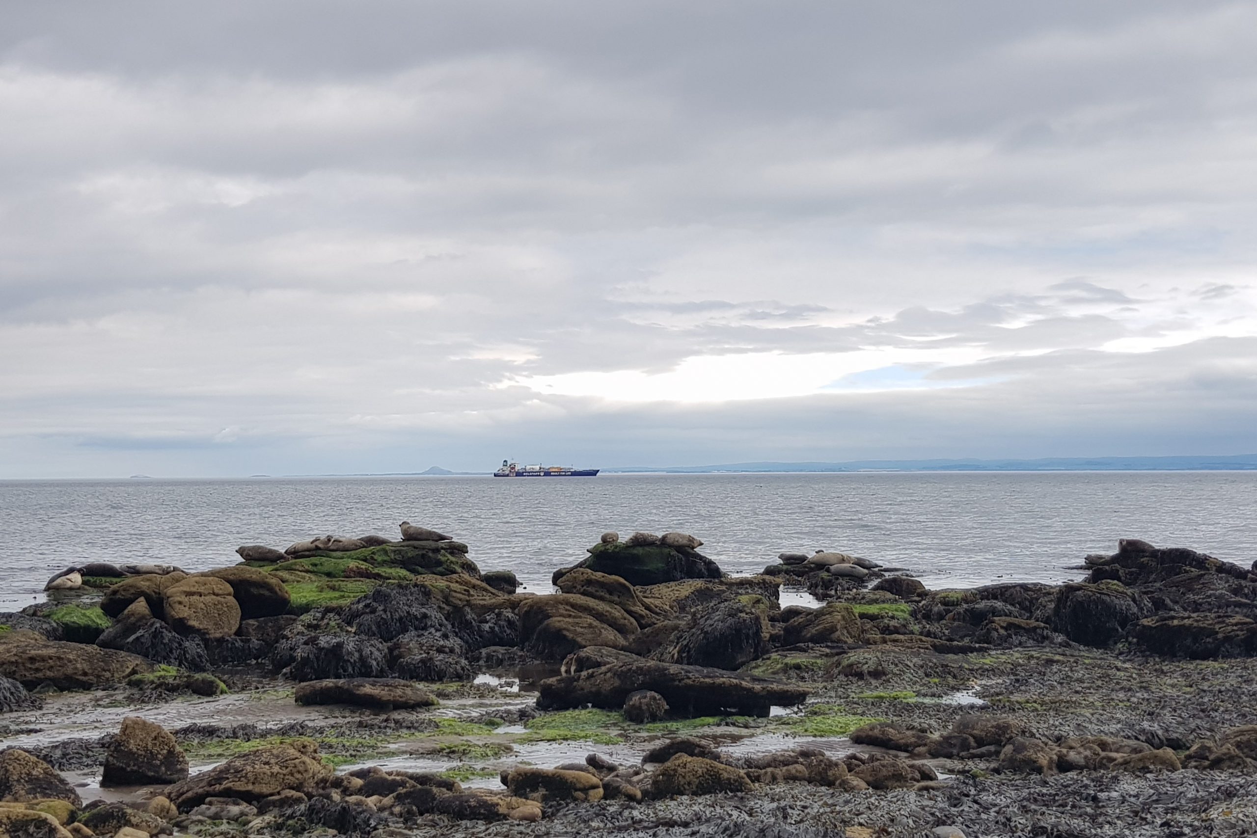
From there we took the stone steps onto a pebbly beach where we saw tens of seals basking in the sunshine. They were enjoying the weather, just as much as we were.
We then passed the quiet, little villages of West and East Wemyss with their white cottages with red roofs before getting to Wemyss Caves. Wemyss Caves are sea caves containing carvings from as far back as 5,000 years ago. The path leads along the coast, passing the Court Cave, followed by Doo Cave. After the Doo Cave the coastal path curves inland and ascends a flight of steps before heading to Macduff Castle and onto a disused railway trackbed.
The last three miles of the day must have been my least favourite section of the whole coastal path, as the section between Buckhaven and Leven is very urban and quite uninspiring and could easily be skipped by taking one of the regular buses between the two villages as suggested in the guidebook.
Day 3: Leven to Elie
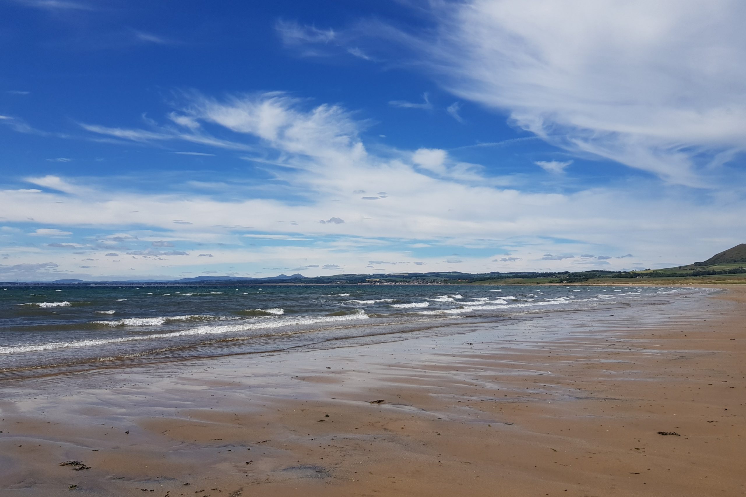
Day three was the shortest one at just over nine miles. We set off in the morning after having a delicious breakfast at our accommodation in Leven and headed along the sandy beach towards Lower Largo. The start of the day was a bit grey; however, this didn’t last long as about an hour into our walk, the sun came out and stayed with us for the rest of the day.
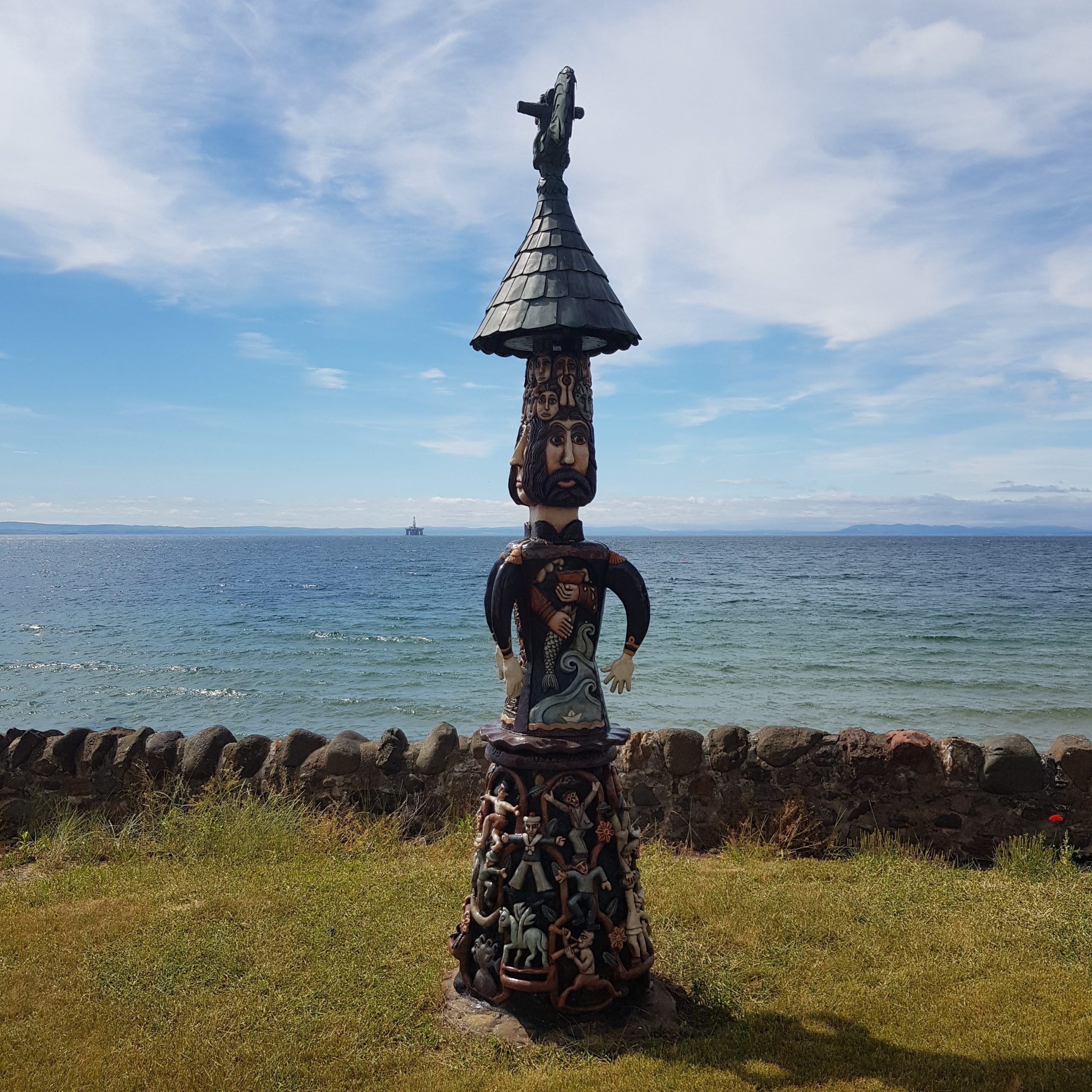
As we reached Lower Largo, we were presented with a brightly coloured statue created by a local artist Alan Faulds, called ‘Malagan’, which sits in his garden overlooking the Firth of Forth. From there we followed another sandy beach which is only passable at low tide, before arriving at Shell Bay, where my sister decided to go for a swim in the sea. Needless to say the water wasn’t the warmest, so she only managed to stay in for few minutes.
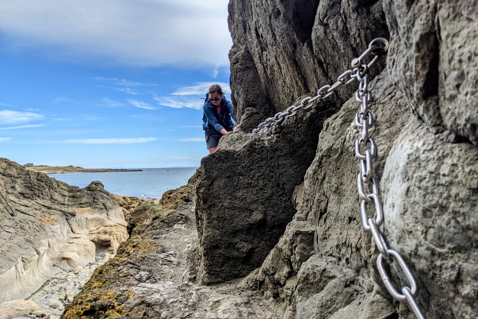
After that a short walk led us to Kincraig Point and then onto the start of the Elie Chainwalk. Elie Chainwalk is a scramble across rocky beaches with caves, cliffs and volcanic rock formations, with chains providing handholds on the most difficult sections. The official notice board at the start advises that the scramble is hazardous and unsuitable for anybody with a fear of heights.
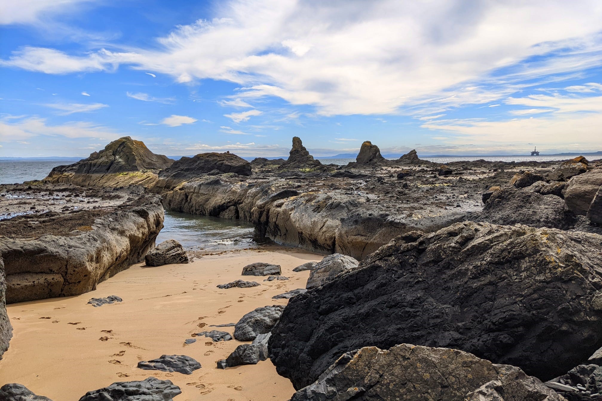
The Chainwalk in not passable during high tide, but we were there at low tide, so decided to give it a go. It took us just over an hour to do it and we emerged on the other end at West Bay. From there it was just a short walk through Earlsferry onto our overnight stop in Elie.
Day 4: Elie to Crail
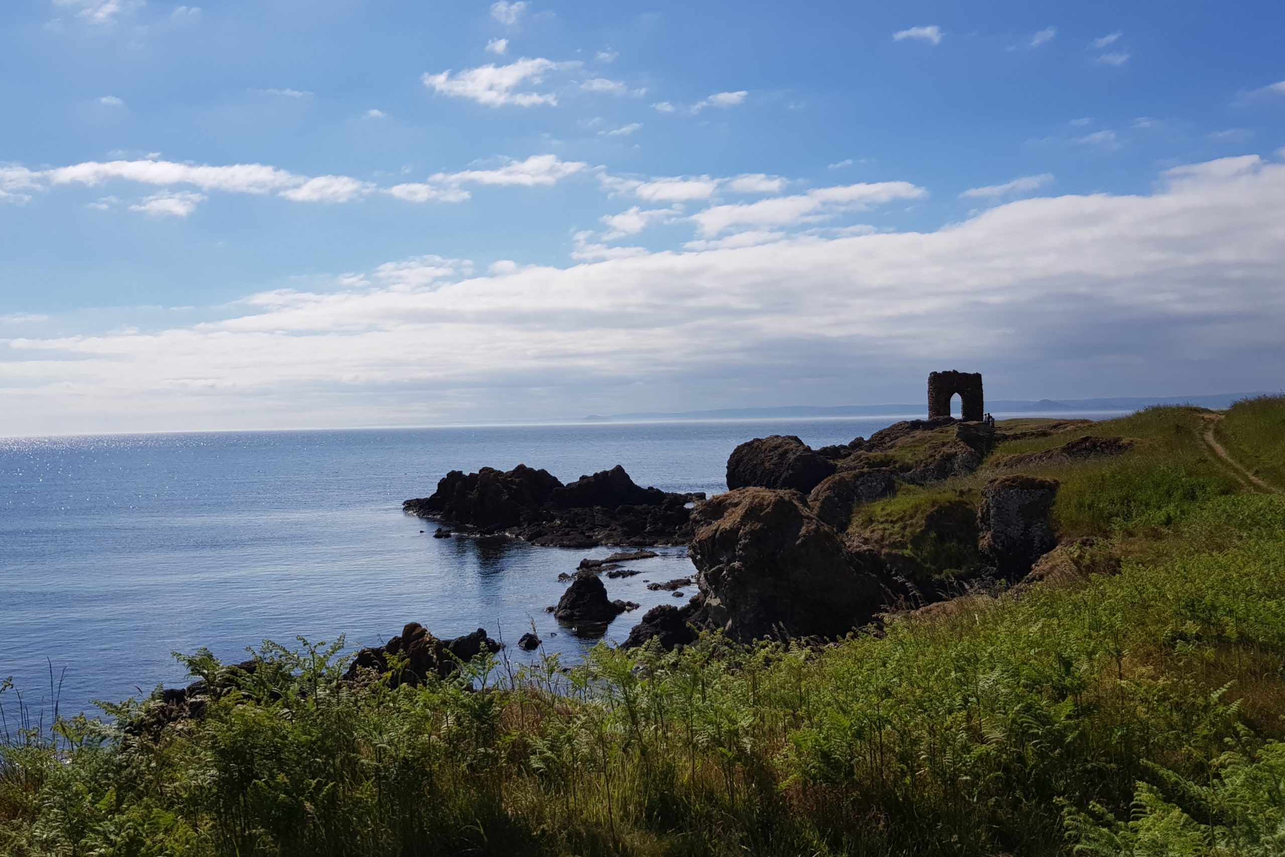
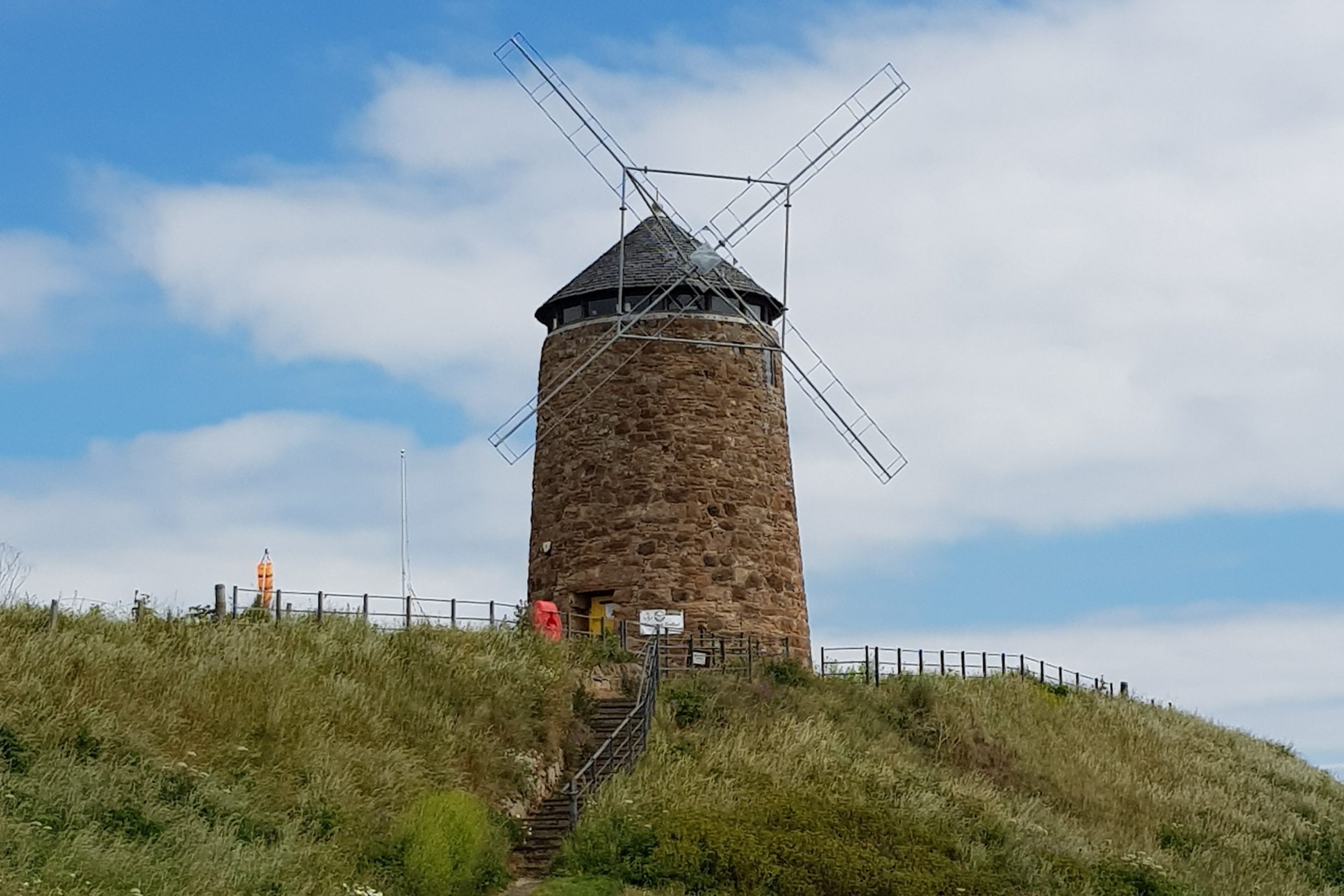
The section between Elie and Crail was probably the prettiest out of the whole coastal path. We set off in the morning from our accommodation located on the Elie harbour and headed towards Lady’s Tower, which was built in 1770 for Lady Janet Anstruther. We were yet again very lucky with the weather, as it was another day of glorious sunshine. We headed down the coastal path past the Ardross Castle and Newark Castle. As the tide was high, we had to take a small diversion past Newark Farm to St Monans Kirk (it dates back to around 1370 and boasts being the closest church to the sea in Scotland). From there we followed a minor road towards St Monans Windmill. The windmill was built in the late 18th century by Sir John Anstruther in order to pump seawater to the salt pans (all nine are still visible), where coal was burned to evaporate the water. The salt residue was then sent to Pittenweem harbour and used mainly in food preservation.
Past the salt pans the path splits into two. We made sure to take the left fork, as the right one is slowly eroding. From there the grassy path took us all the way to Pittenweem. Pittenweem is a beautiful fishing village with a working harbour filled with fishing boats. This section of the coastal path goes past an award-winning ice-cream shop, so we thought it would be rude not to stop and have one there.
With ice-creams in our hands, we made our way through Pittenweem, past the golf course and tiny shell beach into Anstruther.
The path through Anstruther follows the High Street, past the harbour and marina into Cellardyke with its own small harbour. Anstruther is the largest village on this section of path. It has a number of independent, little shops and cafes to explore, and the harbour is very busy with boats. During summer you can catch a boat across to the Isle of May which is home to a large colony of grey seals, over 45,000 pairs of puffins and around 200,000 sea birds. It also has 3 stunning lighthouses, including Scotland’s oldest lighthouse, the Beacon, which dates from 1636.
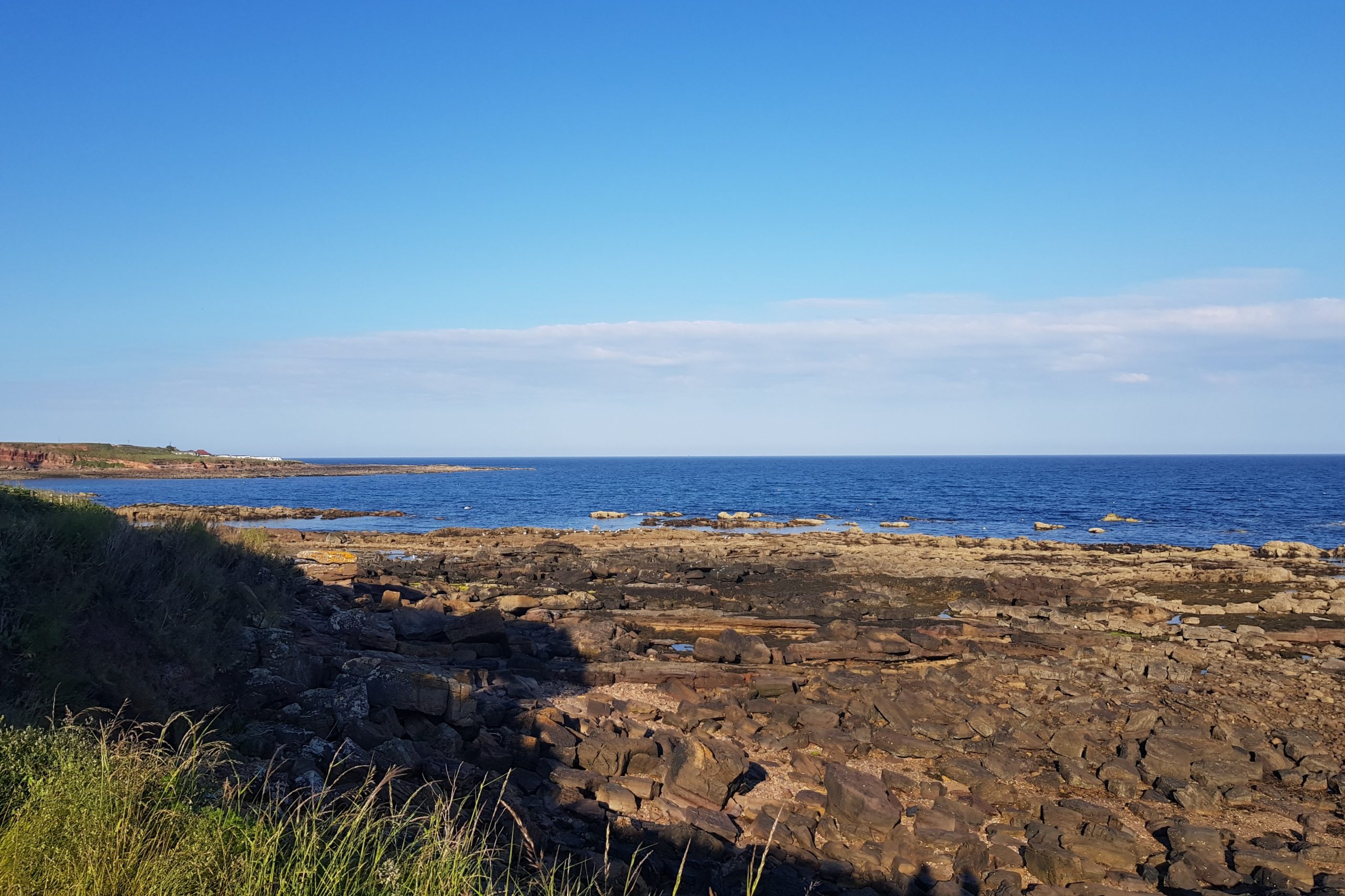
From Cellardyke we followed grassy path almost all the way to Crail, where we stopped for the night. Crail is a small, but picturesque fishing village, with lovely cobbled streets. Crail Harbour offers amazing views of Isle of May, Bass Rock and many more.
Day 5: Crail to St Andrews
On our penultimate day of walking, we went from Crail to St Andrews. We had to plan this section of the walk carefully, as there’s a couple of places that are not passable during high tide. We did however manage to pass them before the tide came in.
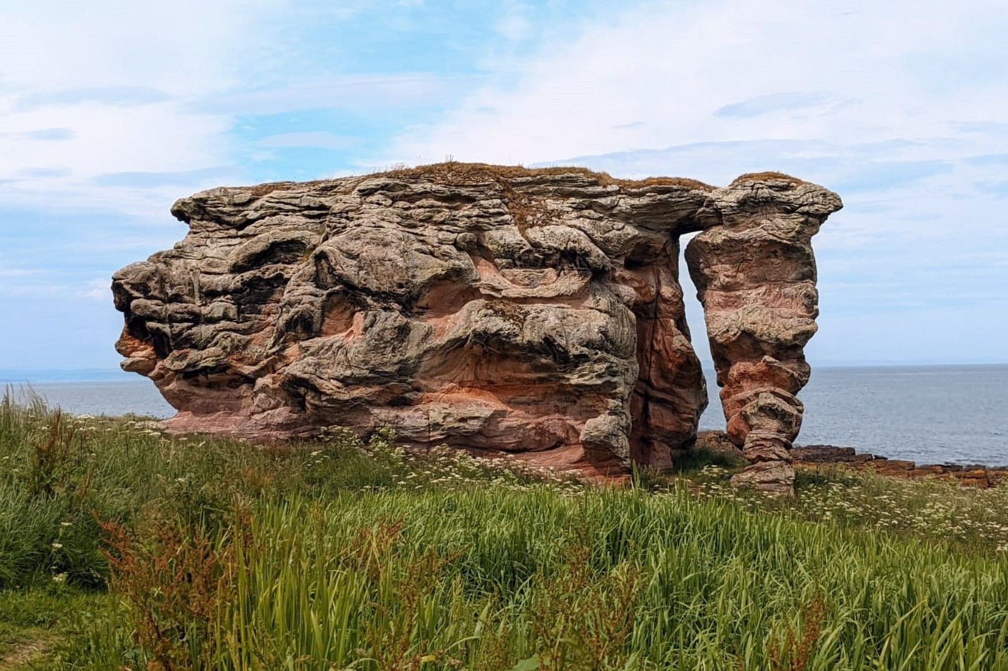
This is the most remote part of the whole coastal path, heading from picturesque Crail and around the headland of Fife Ness. The path took us past a golf course, down the small stretch of sandy beach (which can only be crossed at low tide), two more golf courses, another beach before the path finally headed inland beside Kenly Water before reaching Boarhills, where we followed farmland tracks for just over 1 mile. We then headed back to the coast past the Buddo Rock with the views of St Andrews in the distance.
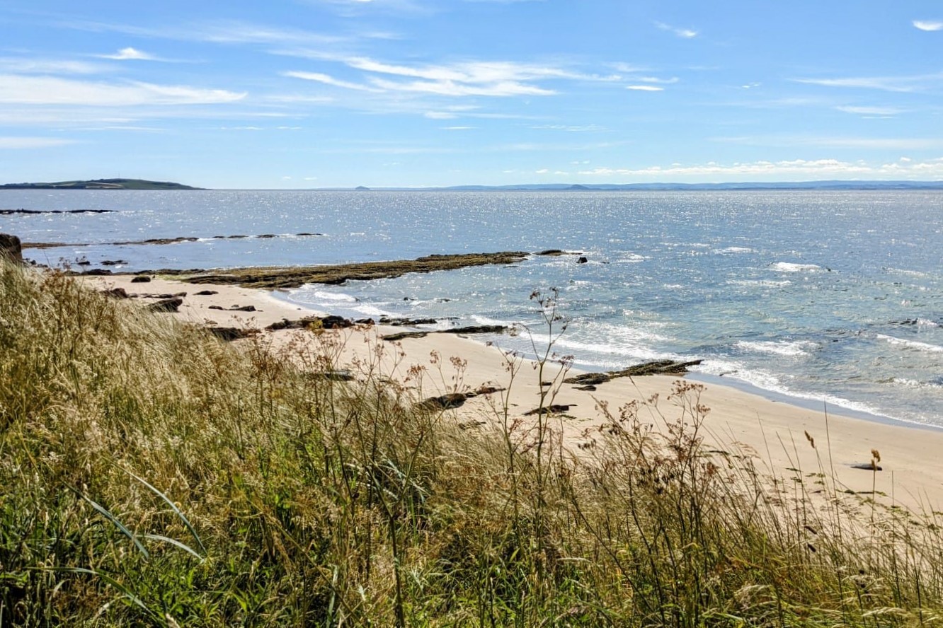
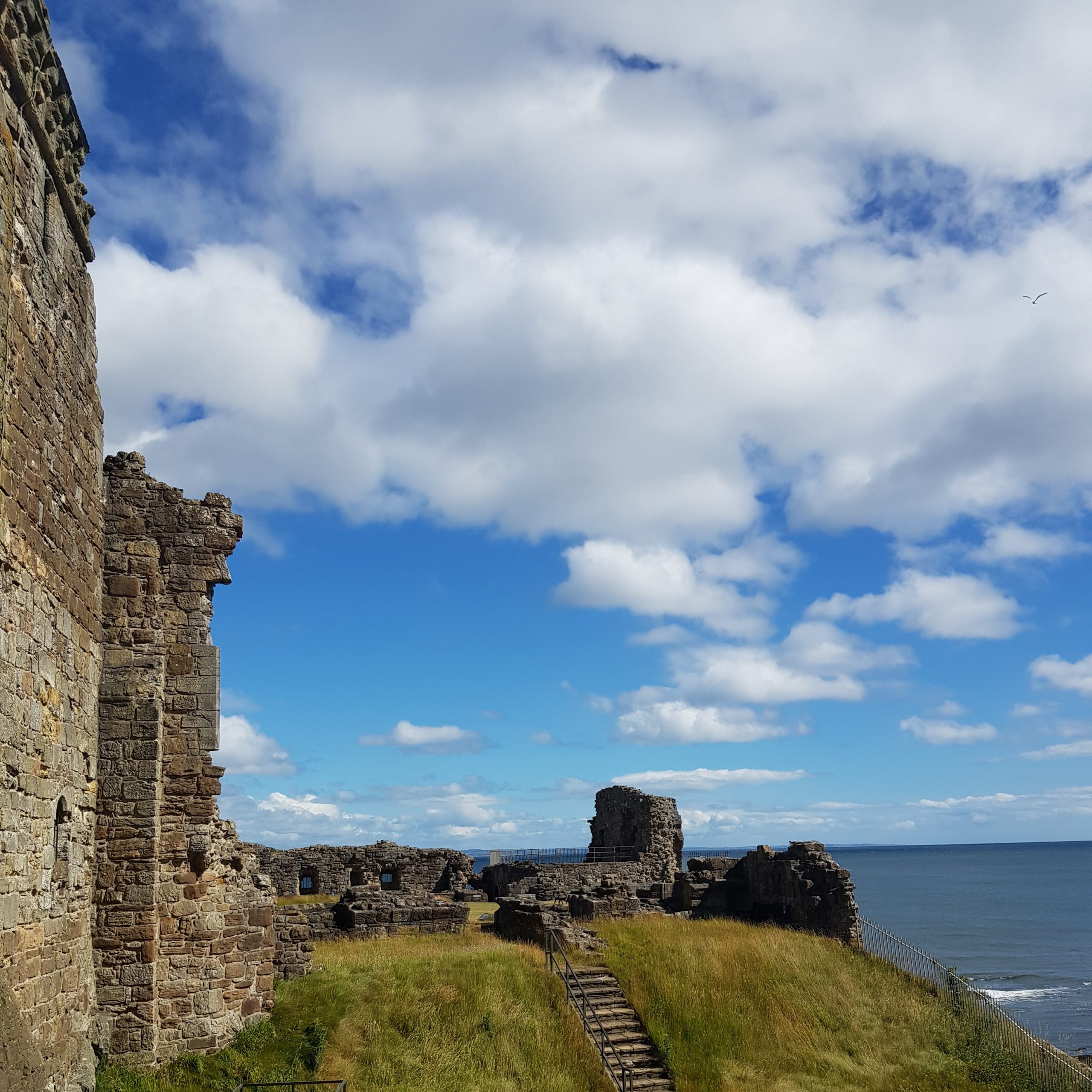
The next section goes up and down on stony steps, before a longer climb to yet another golf course. After that the path was relatively flat all the way to St Andrews down some more sandy and rocky beaches as well as farmland paths. St Andrews is a beautiful city with lovely cobbled streets, stunning architecture and heaps of history. It’s well worth having an extra day there to explore the ruins of both St Andrews Castle as well as the Cathedral and wander round the picturesque little streets.
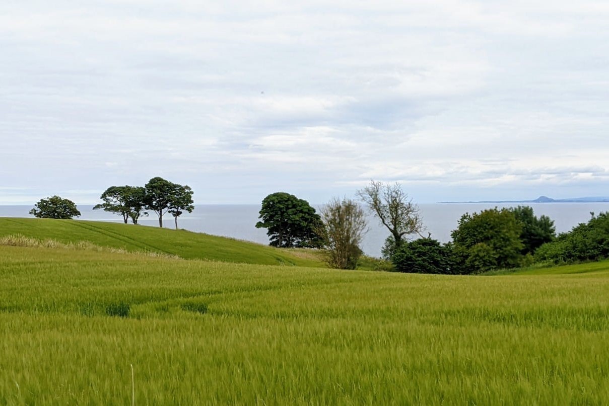
Overall, it was a lovely section of the Fife Coast Path, with unspoilt beaches, rocky shores, and an inland section along the riverside and over farmland.
Day 6: St Andrews to Newport-on-Tay
Our last day was definitely a day of contrasts. You start the day by following the cycle path, then entering fields and woodlands before finally reaching the coast again and shores of the Firth of Tay.
The first section from St Andrews to Guardbridge follows the cycle path adjacent to the main road from St Andrews to Dundee. As this was the longest day of our whole trip, we decided to skip this section as recommend by our accommodation hosts by taking a bus and joining the path just past Guardbridge, where the path moves away from the main road and shortly after takes you into Leuchars. We passed the military base in Leuchars, went through a residential area, down a minor road past Earlshall Castle, through fields before entering Tentsmuir Forest.
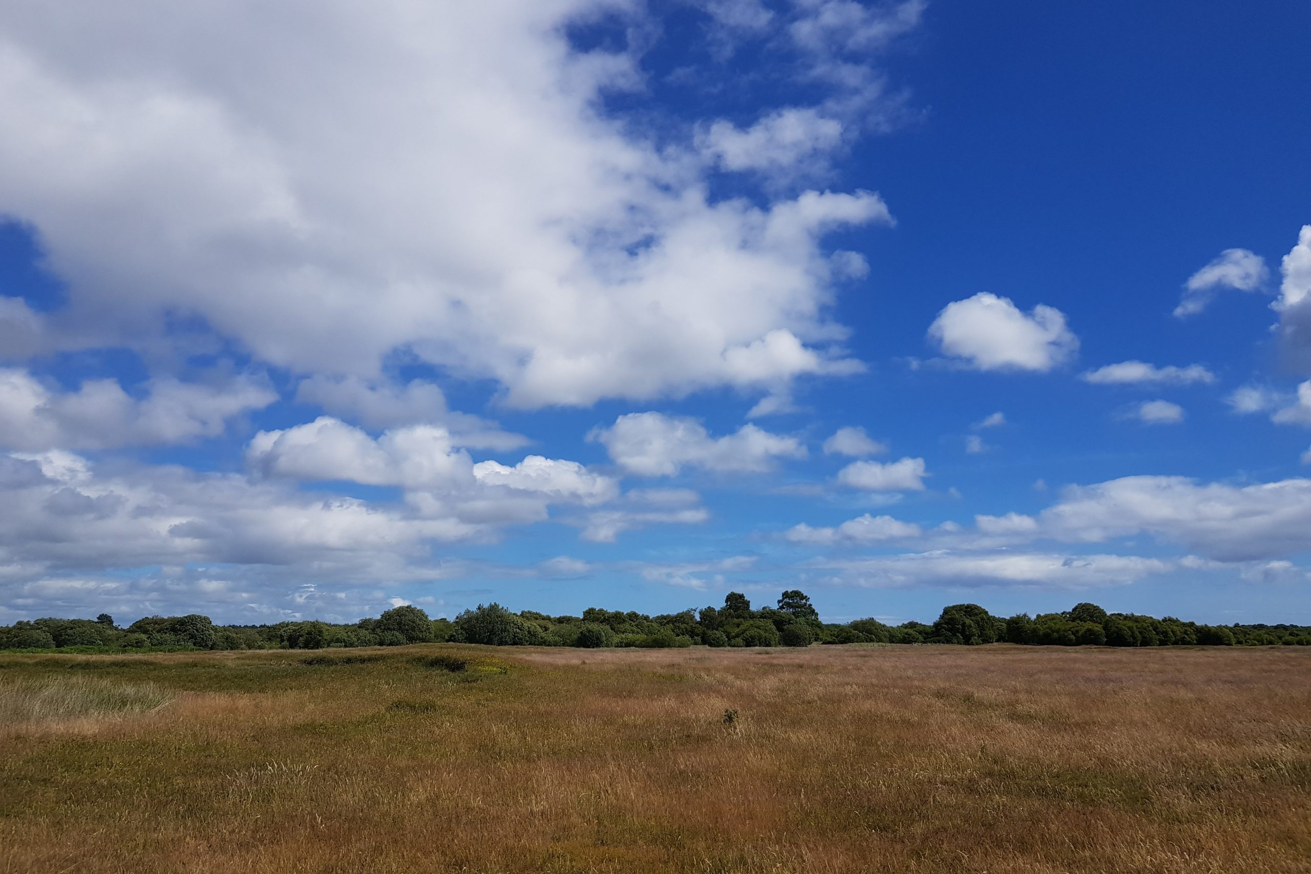
Tentsmuir Forest has something for everyone. There’s plenty to enjoy here while walking through the woods and the sand dunes. Lots of Scottish wildlife and well as a lot of history to be seen here from a Stone Age hunters camp, Victorian Ice Houses used to store salmon to World War II anti-tank barriers built by Polish soldiers.
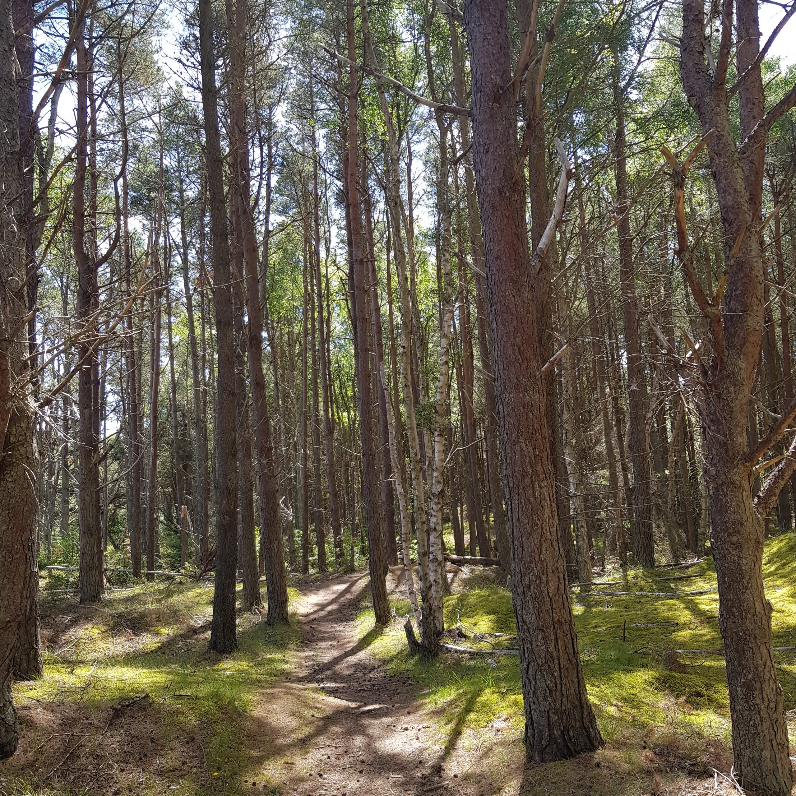
Walking through the forest you have 2 options, either follow one of the main forestry tracks or follow the Seashell trail. We decided to do the latter, as it seemed to be a bit quitter and somewhat prettier, as it runs on the edge of the forest.
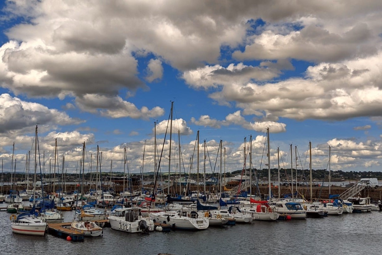
After six miles of forestry paths, we emerged on the other side of the plantation just outside Tayport. We were greeted with view across the Firth of Tay, Dundee, Newport-on-Tay and the Tay Bridges, the end point of our holiday.
If you have any questions about the Fife Coastal Path then please go get in touch as I would be happy to help, email us [email protected] or call 017687 72335.